-40%
!950’s British Travel Road Maps
$ 23.76
- Description
- Size Guide
Description
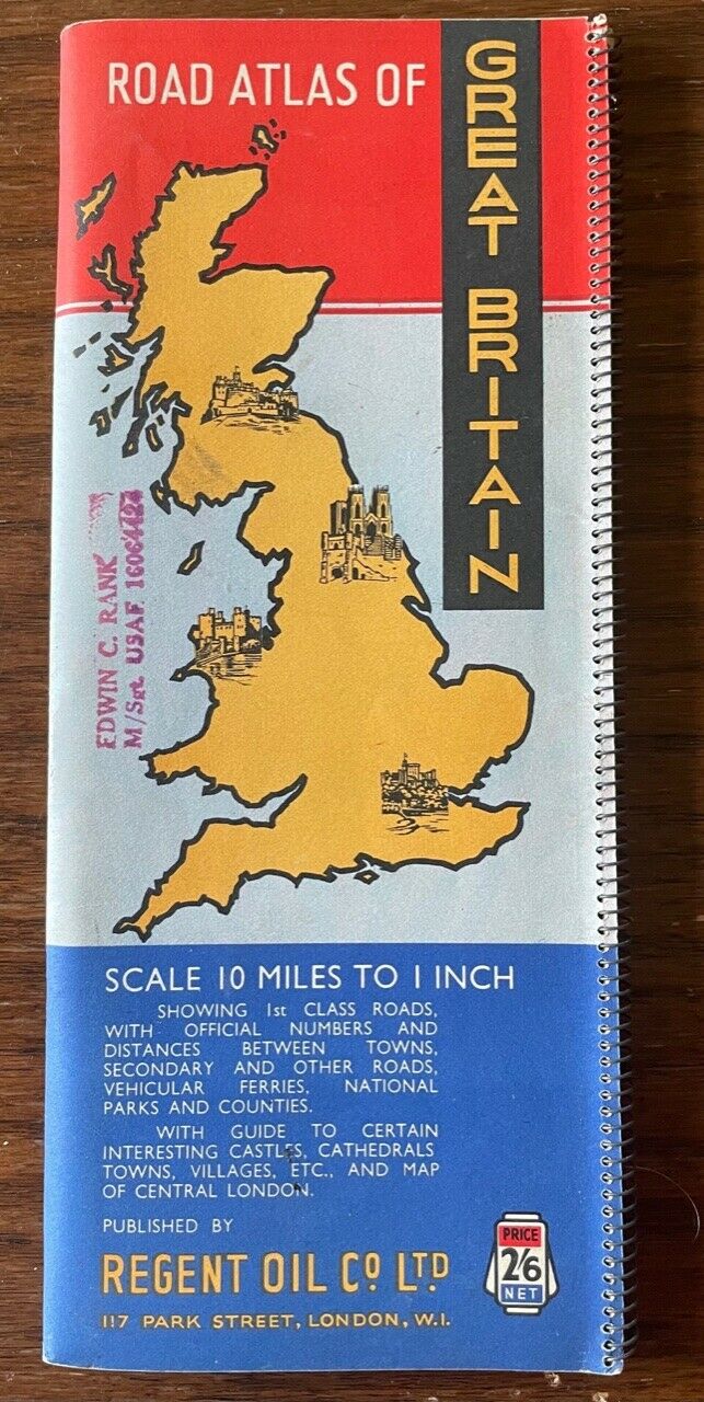
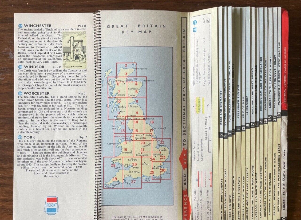
Although maps from Britain aren’t usually dated, these maps came from an estate where other tourist-related material ranged from 1953-55.The Road Atlas of Great Britain , sponsored by the Regent Oil Co., Ltd., is lithographed, highly detailed, colorful, and divides Great Britain into 30 sections. There’s a small tear on the back side of the cover, but it has no effect on the graphics. The last inside page has a map of central London. When opening the guide, there are pages of must-see sights with corresponding map locations.
The Philips map is another very nice road map. It has a curious inset entitled “Lighting-up Times for the London area” which shows what times, depending on the time of the year, all vehicles (including bikes and horse-drawn carts) must use their lights.
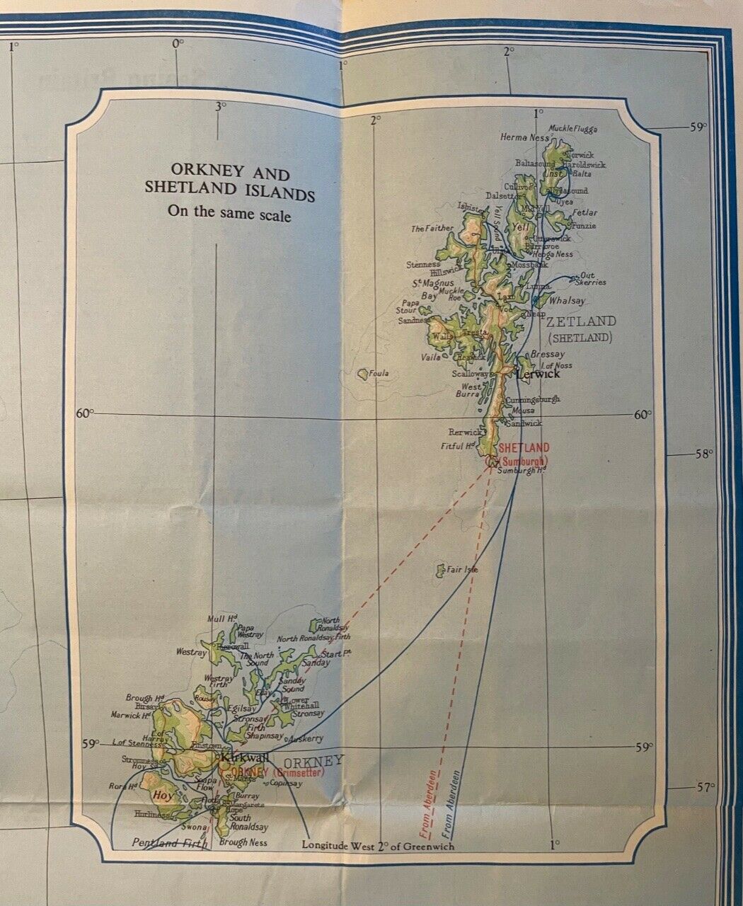
The third road map, which is not in the main photo, has some folds, but no tears or staining. It is a tourist road map published by the British Travel and Holidays Association. The map is very colorful and was designed in Edinburgh, which might explain why there’s a neat inset of the Orkney and Shetland Islands. Also, there are a couple pages on British road signs and what they meant back in the day.


