-40%
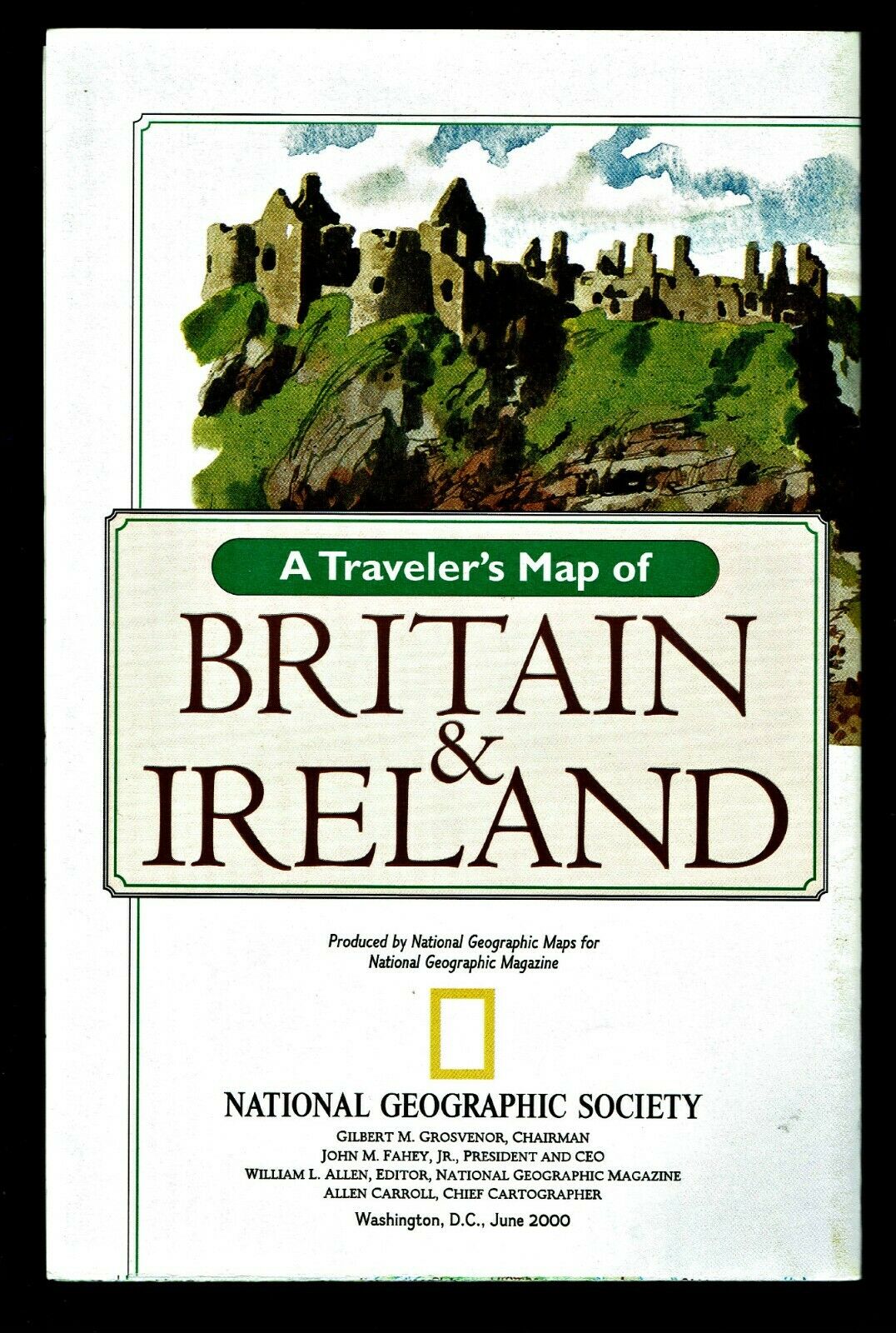
⫸ 2000-6 June - BRITAIN IRELAND Traveler's London Map National Geographic B
$ 0.7
- Description
- Size Guide
Description
⫸2000-6 Britain & Ireland Traveler's Map London Tourist – National Geographic School Poster
An excellent map for the traveler or student of Britain and Ireland. On the map-side is a classic National Geographic cartographic political map of the subject area with thousands of place names, major highways/roads, ferry routes, bodies of water, national parks, etc. Color-coded relief reveals the varying topography of the land. There are map insets of the Shetland Islands, Edinburgh, Dublin, and the Channel Islands. On the reverse-side is a very detailed map of the heart of tourist London, with a list, location, and description of 30 primary tourist destinations.
Maps in the Traveler's/Visitor's series are our:
1970-6 Italy;
1971-6 France;
1974-4 British Isles;
1980-12 Aztec World/Mexico & Central America;
1984-10 Spain & Portugal;
1985-4 Alps;
1988-2 Australia;
1989-10 Land of the Maya;
1991-9 Germany;
1991-Native American Heritage;
1994-9 Mexico;
1998-12 Spain & Portugal;
2000-6 Britain & Ireland; and
2003-3 West Indies.
Map is approximately 20” x 31”.
The National Geographic is known for it's fine maps & detailed information.
Supplement to the National Geographic Magazine; magazine is not included.
Always use your cart to obtain any discounts!
U.S. Shipping
- Please select:
1) USPS Mail Service or Media Mail (average delivery time) .50 for the first item and 50
¢ for each additional item.
2) USPS Package Service (faster delivery and with tracking) .00 for the first item and 50¢ for each additional item.
SAVE - MAP SALE - Select ANY 5 Maps - The lowest priced item is
FREE
- See eligible items above (top left).
x
x
x


