-40%
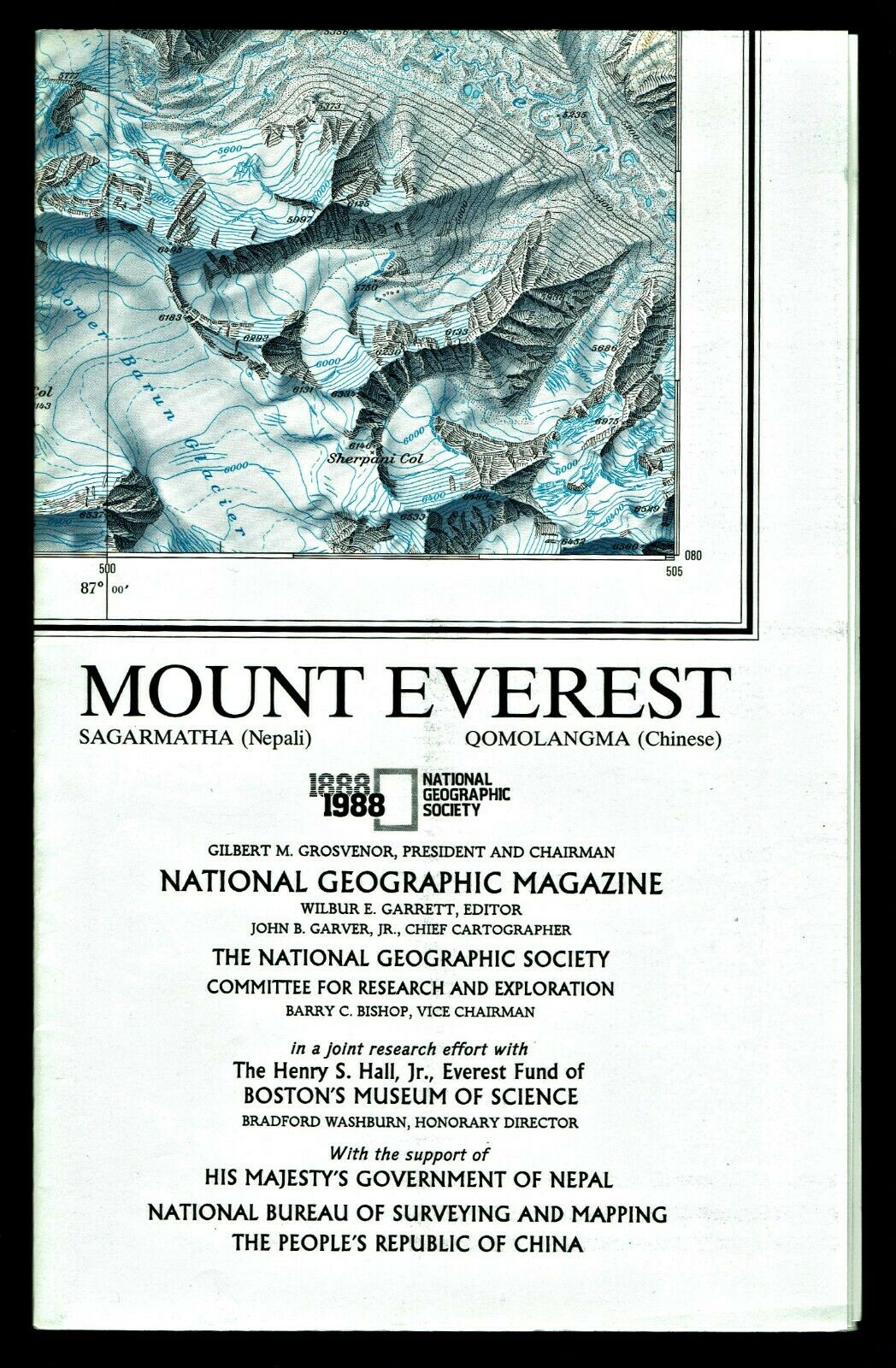
⫸ 1988-11 November MT MOUNT EVEREST National Geographic Map Poster School B XAD
$ 0.52
- Description
- Size Guide
Description
⫸1988-11
Mount Everest – National Geographic Map Poster
Two exciting map-posters. One side displays the High Himalaya via a computer-generated landscape portrait taken from a point near Kathmandu. The reverse-side is a hand-drawn Swiss relief representation, which provides “the most detailed and accurate map ever made of Mount Everest.” which current digital technology has yet to match in such vivid detail. “Blue contours sit well in the overall design and take on the appearance of layers of ice.”
Maps about Mount Everest are;
1988-11 Mount Everest;
2002-6 Quest for Everest; and
2003-5 Everest at 50
Map is approximately 23” x 36”.
The National Geographic is known for it's fine maps & detailed information.
Supplement to the National Geographic Magazine; magazine is not included.
Always use your cart to obtain any discounts!
U.S. Shipping
- Please select:
1) USPS Mail Service or Media Mail (average delivery time) .50 for the first item and 50
¢ for each additional item.
2) USPS Package Service (faster delivery and with tracking) .00 for the first item and 50¢ for each additional item.
SAVE - MAP SALE - Select ANY 5 Maps - The lowest priced item is
FREE
- See eligible items above (top left).
x
x
x


