-40%
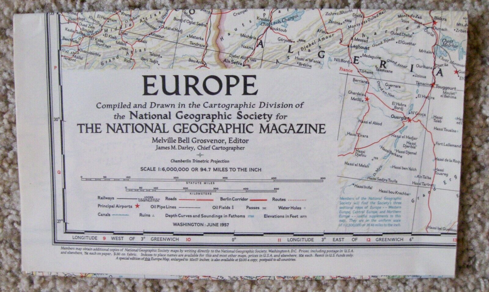
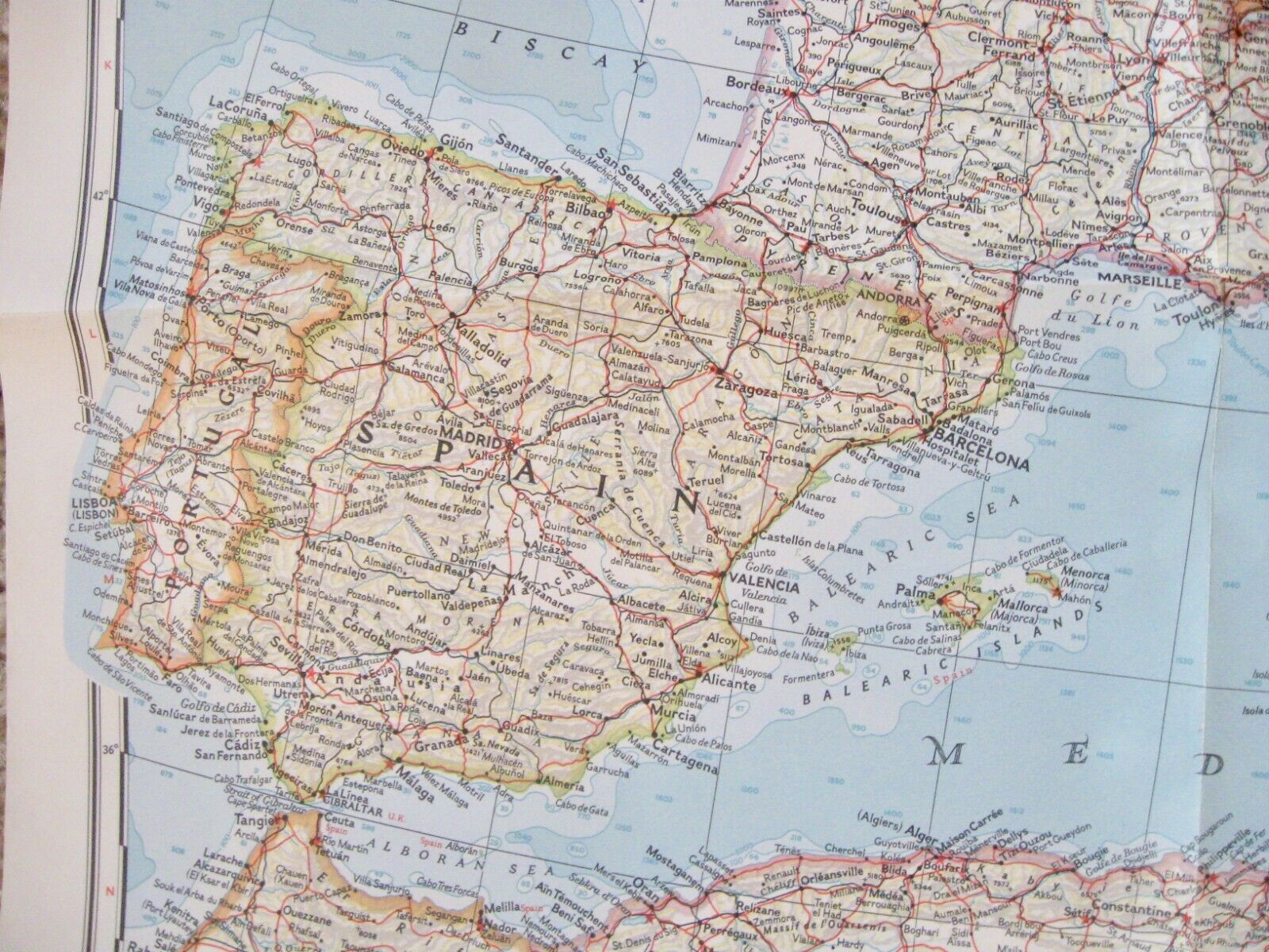
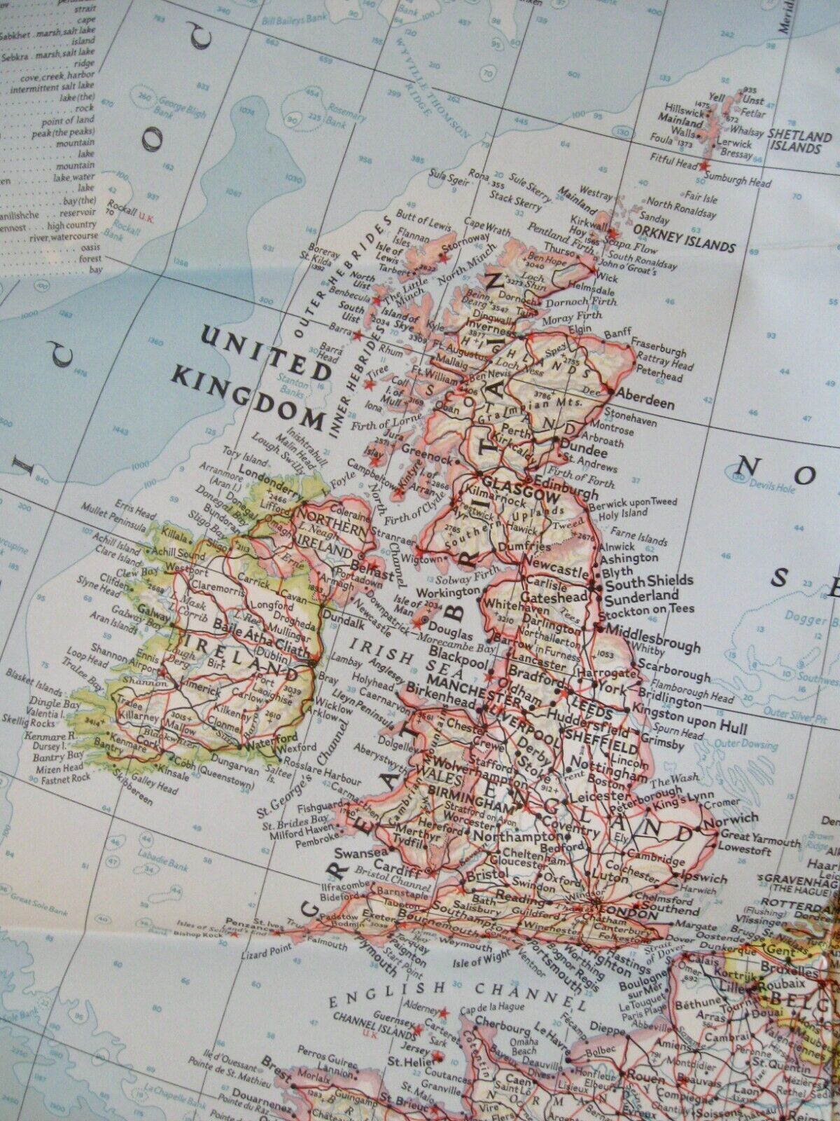
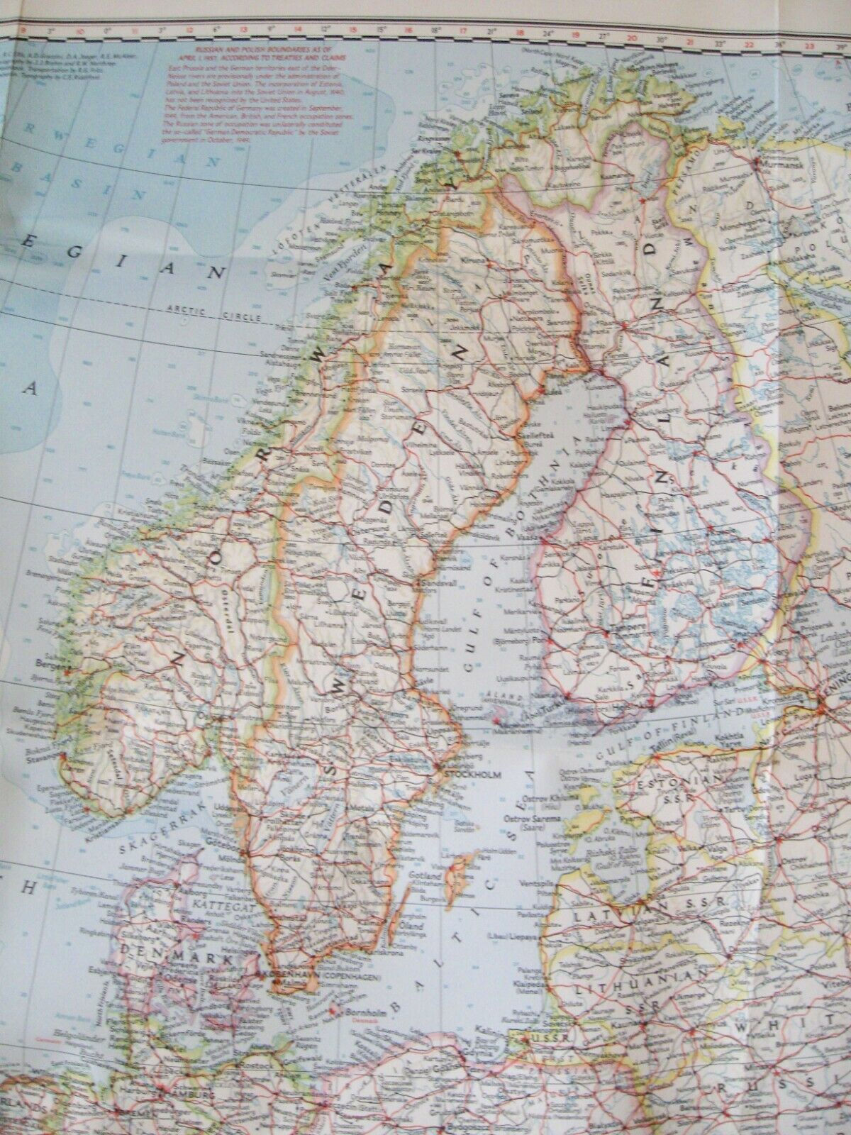
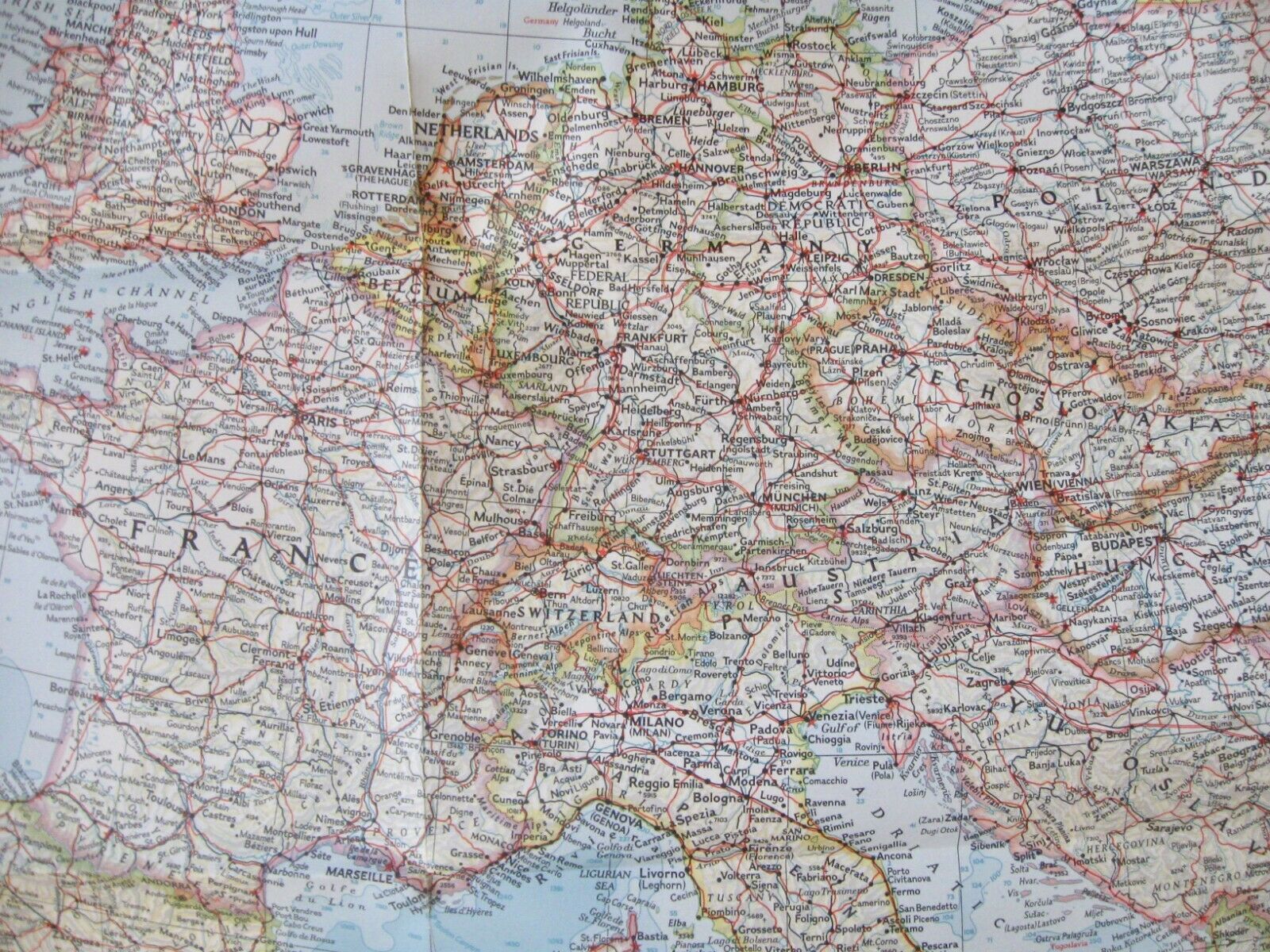
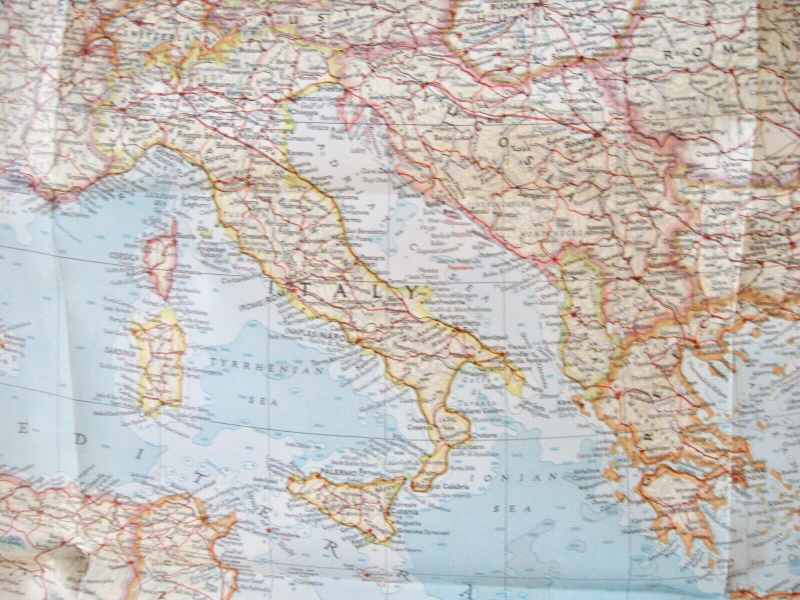
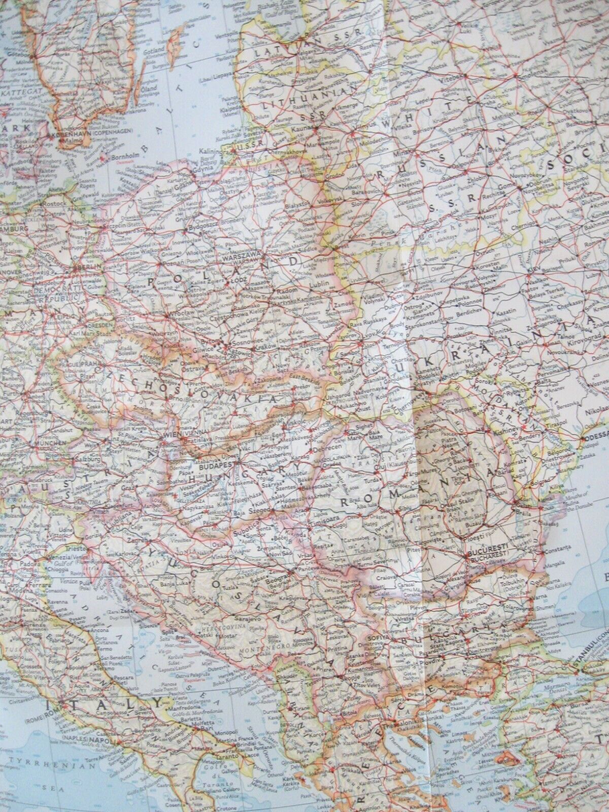
1957 Map EUROPE National Geographic Society Poster Style; Cold War Era
$ 4.21
- Description
- Size Guide
Description
1957 Map EUROPE National Geographic Society Poster Style; Cold War EraMagazine NOT included - Map Only
Includes:
All European Countries in 1957
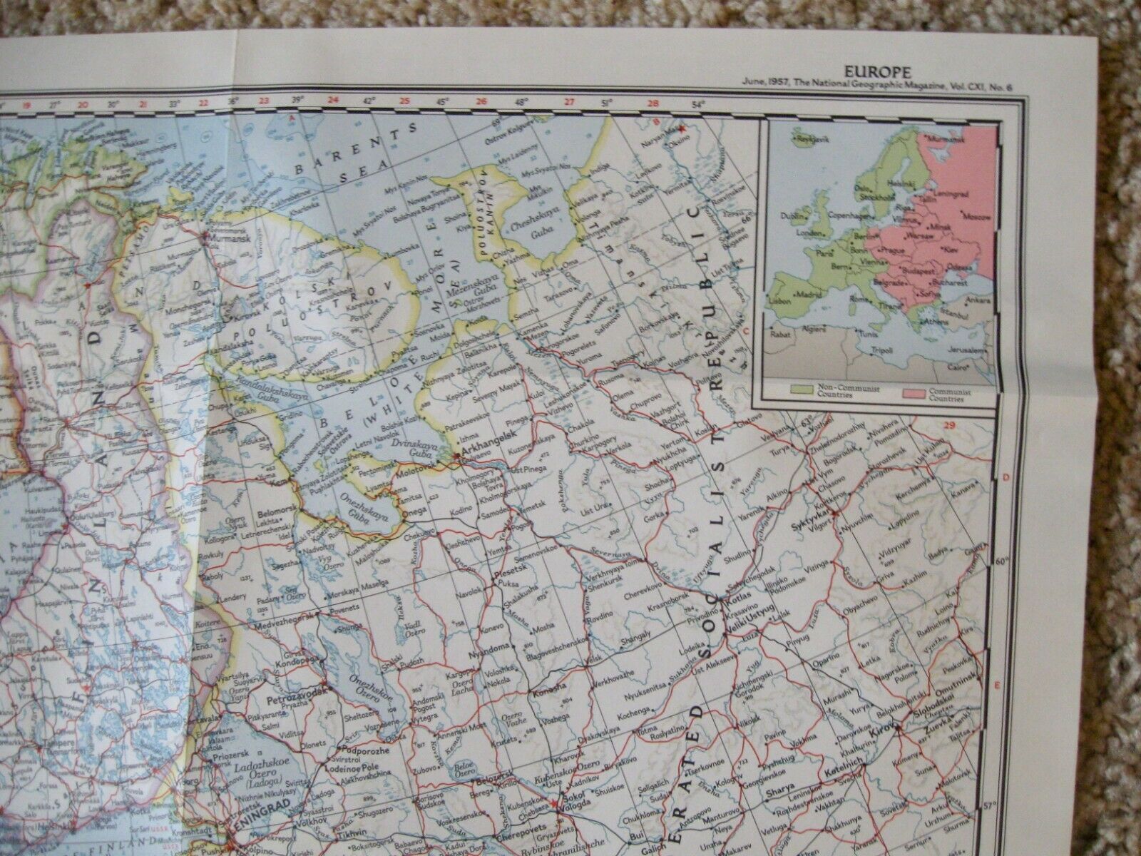
A part of the Soviet Union - during the Cold War era
Map is compiled and drawn in the Cartographic Society
Chief Cartographer - James M. Darley
Inset designates Non-Communist and Communist Countries
Legend
Measures 32 3/4" x 29"
NOS - New Old Stock
Comes from non smoking, pet free home. Please email me with any questions.
